
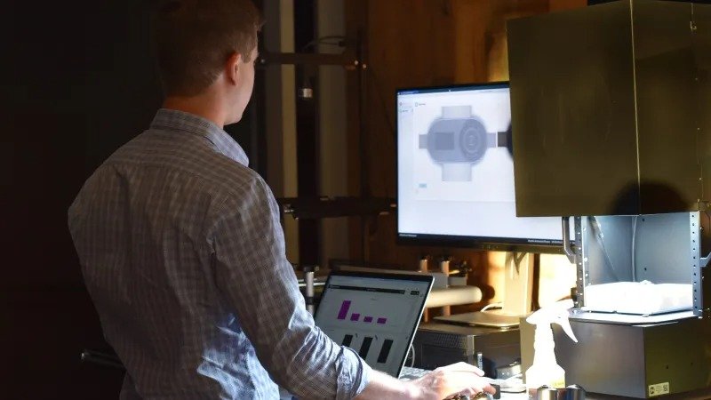
LiDAR and AI for spatial inspection are transforming how industries approach quality assurance, infrastructure monitoring, and digital mapping. By combining advanced laser scanning with artificial intelligence, organizations can capture detailed 3D representations of environments and automatically detect anomalies, defects, or changes over time. This synergy not only improves accuracy but also streamlines workflows, reduces manual labor, and enables proactive maintenance across sectors such as manufacturing, construction, and robotics.
For teams seeking to enhance their inspection processes, understanding how these technologies work together is essential. This article explores the fundamentals of 3D mapping with LiDAR and AI, outlines practical applications, and provides actionable insights for integrating these solutions into existing operations. For those interested in optimizing their AI models, learning about retraining strategies for AI inspection can be a valuable next step.
Understanding 3D Mapping with LiDAR and Artificial Intelligence
At its core, LiDAR (Light Detection and Ranging) is a remote sensing method that uses laser pulses to measure distances to objects and surfaces. This data is then used to create highly accurate 3D maps, known as point clouds. When paired with AI algorithms, these point clouds can be automatically analyzed to identify features, classify objects, and detect irregularities that might otherwise go unnoticed.
The integration of LiDAR and AI for spatial inspection brings several advantages:
- High-resolution data: LiDAR sensors capture millions of data points per second, providing a detailed spatial understanding of the environment.
- Automated analysis: AI models process vast amounts of data quickly, flagging defects or changes without manual intervention.
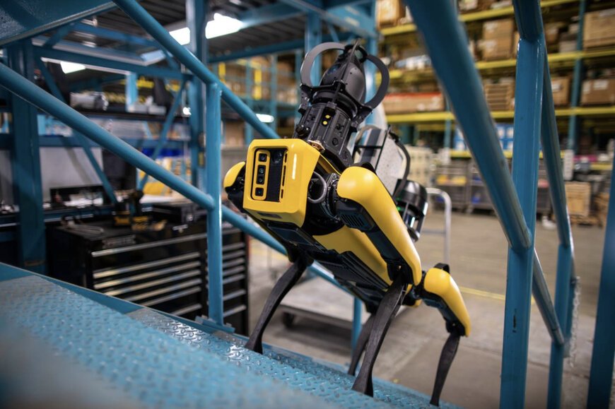
- Scalability: These systems can be deployed on drones, robots, or fixed platforms, making them suitable for large-scale or hard-to-reach areas.
Key Components of a Modern Spatial Inspection System
A robust spatial inspection setup typically includes several integrated technologies:
- LiDAR sensors: Devices that emit laser pulses and measure their return time to generate 3D point clouds.
- AI-powered software: Machine learning models trained to recognize patterns, segment objects, and detect anomalies in spatial data.
- Data fusion tools: Systems that combine LiDAR data with images or other sensor inputs for richer analysis. For a deeper dive, see this overview of multimodal data fusion for inspection.
- Visualization platforms: Interfaces for viewing, annotating, and reporting on inspection results.
Applications of LiDAR and AI in Industrial and Infrastructure Inspection
The combination of laser scanning and intelligent analysis is revolutionizing several fields:
Manufacturing Quality Assurance
In factories, LiDAR scanners mounted on robotic arms or mobile platforms can inspect parts and assemblies in real time. AI models compare the captured 3D data against digital twins or CAD models, instantly flagging deviations, surface defects, or dimensional inaccuracies. This approach reduces reliance on manual checks and improves consistency.
Construction and Civil Engineering
On construction sites, LiDAR-equipped drones or ground robots map progress and identify structural issues. AI-driven analysis helps detect cracks, misalignments, or material deformations early, minimizing costly rework. These digital records also support documentation and compliance.
Facility and Asset Management
For ongoing maintenance, spatial inspection systems monitor infrastructure such as bridges, tunnels, and pipelines. By comparing periodic scans, AI can highlight wear, corrosion, or unauthorized modifications, enabling proactive repairs and extending asset lifespans.
How AI Enhances LiDAR-Based Spatial Inspection
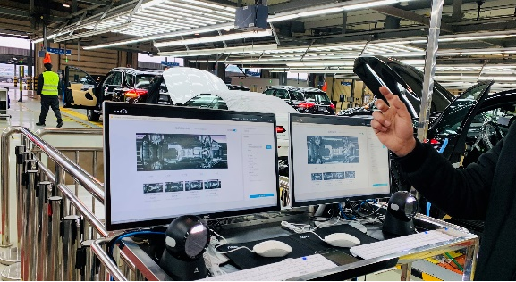
While LiDAR provides precise spatial data, the sheer volume of information can overwhelm human inspectors. Artificial intelligence addresses this challenge by automating key tasks:
- Object detection and classification: AI models identify and label objects within point clouds, such as vehicles, machinery, or structural elements.
- Anomaly detection: Machine learning algorithms flag areas that deviate from expected patterns, such as dents, cracks, or missing components.
- Change monitoring: By comparing scans over time, AI highlights new or evolving issues, supporting predictive maintenance.
Recent advances, such as vision transformers for industrial use, are further improving the ability of AI to interpret complex spatial data, making inspections faster and more reliable.
Challenges and Considerations in Deploying LiDAR and AI Solutions
Despite their benefits, implementing these technologies comes with challenges:
- Data quality: Environmental factors like dust, rain, or reflective surfaces can affect LiDAR accuracy. Proper sensor calibration and placement are essential.
- Training data: AI models require diverse, high-quality datasets to perform well. Addressing overcoming data scarcity in inspection is crucial for robust performance.
- Integration: Combining LiDAR, AI, and existing IT systems demands careful planning and technical expertise.
- Cost: Initial investment in sensors, software, and training can be significant, but long-term savings and efficiency gains often justify the expense.
Best Practices for Successful Implementation
Organizations looking to adopt spatial inspection with LiDAR and AI should consider the following steps:
- Define clear objectives: Identify specific inspection goals and success metrics.
- Select appropriate hardware: Choose LiDAR sensors that match the required range, resolution, and environmental conditions.
- Invest in AI training: Use representative datasets and regularly update models to handle new scenarios. For ongoing improvement, explore retraining strategies for AI inspection.
- Integrate with workflows: Ensure that inspection results are accessible to relevant teams and support decision-making.
- Monitor and refine: Continuously evaluate system performance and adapt to changing needs or environments.
Benefits of Combining LiDAR and AI for Spatial Inspection
The joint use of LiDAR and artificial intelligence delivers tangible advantages:
- Increased accuracy: Automated detection reduces human error and ensures consistent results.
- Faster inspections: Large areas can be scanned and analyzed in a fraction of the time required for manual methods.
- Comprehensive documentation: 3D records support traceability and compliance, as discussed in traceability in ai-driven manufacturing.
- Cost savings: Early detection of issues prevents expensive failures and minimizes downtime.
For a broader perspective on the impact of artificial intelligence in quality assurance, see this analysis of AI’s benefits in quality assurance.
FAQ
What is the main advantage of using LiDAR and AI together for inspections?
The primary benefit is the ability to automate the detection and analysis of defects or changes in complex environments. This leads to faster, more accurate inspections and reduces the reliance on manual labor.
Can LiDAR and AI be used outdoors and indoors?
Yes, these technologies are versatile and can be deployed in both indoor and outdoor settings. Proper sensor selection and calibration are important to account for environmental variables.
How does AI improve over time in spatial inspection applications?
AI models become more effective as they are exposed to more data and retrained on new scenarios. Regular updates and the use of diverse datasets help maintain accuracy and adapt to changing inspection needs.